History
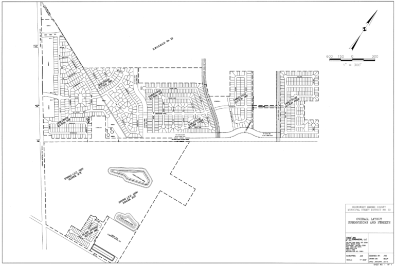
Northwest Harris County Municipal Utility District No. 23 (the “District”), a political subdivision of the State of Texas, is located in Harris County, Texas. The District was created by order of the Texas Water Commission, predecessor to the Texas Commission on Environmental Quality (the “TCEQ”) on July 3, 1979, and operates pursuant to Chapters 49 and 54 of the Texas Water Code, as amended. The District consists of approximately 459 acres of land.
The District is located approximately 16 miles northwest of the central downtown business district of the City of Houston and approximately five miles west of the intersection of Farm-to-Market 1960 and Interstate Highway 45. The District is southeast of the intersection of Bammel-North Houston Road and Veterans Memorial Drive. The District lies wholly within the boundaries of the Spring Independent School District and is within the exclusive extraterritorial jurisdiction of the City of Houston.
Construction of taxable improvements in the District began in 1979. The District has been developed as the residential subdivisions of Sableridge, Section One, a portion of Sableridge, Section Two (remainder in neighboring Northwest Harris County Municipal Utility District No. 22), Sablechase, Sections One, Two, Three and Four, and Silver Springs, Section 1 and 2 (collectively, 1,173 lots and 154 duplex units on
approximately 231 acres) for a total of 1,327 lots and duplexes. As of May 9, 2018, the District contained 1,178 completed and occupied homes (including 154 duplex units), 23 completed and unoccupied homes and 126 vacant developed lots for a total of 1,327 homes and duplexes. Based on the 2017 tax roll, the average home value in the District is approximately $100,782.
In addition to the residential development in the District, there are approximately 10 commercial connections in the District built upon approximately 16 acres. Commercial improvements include two shopping centers containing various retail and service establishments, a La Moreliana Market, a Sonic fast food restaurant, a Valero gas station, a car wash, a Diamond Food Mart, a Circle K convenience store/gas station, and a Public Storage facility. An 18-unit multi-family structure has also been constructed on approximately 2 acres within the District. In addition, an apartment complex (80 units) development, including a convenience store and gas station, has been constructed on approximately 6 acres.
A Spring Independent School District elementary school, which is not subject to taxation, has been constructed on approximately 15 acres of land in the District and approximately 80 acres of undeveloped land has also been sold to the Spring Independent School District, of which approximately 20 acres is currently under design for construction of a middle school campus. Additionally, the District contains approximately 28 acres of undeveloped but developable land and approximately 81 acres of undevelopable land consisting of right-of-way, plant sites, drainage ponds, and easements. The undeveloped land is owned by various landowners, and the District is not aware of any current plans for development.
District Map